
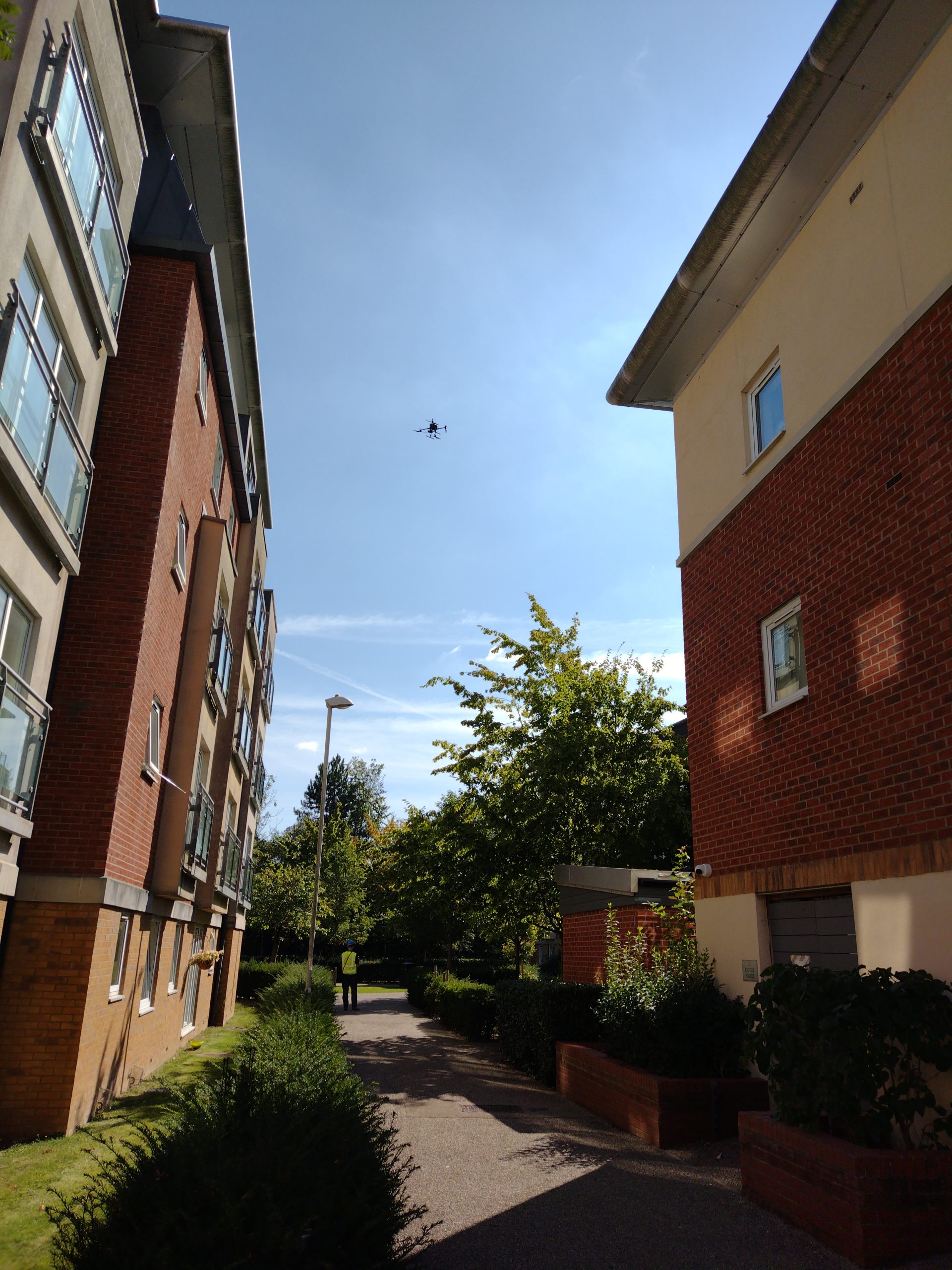
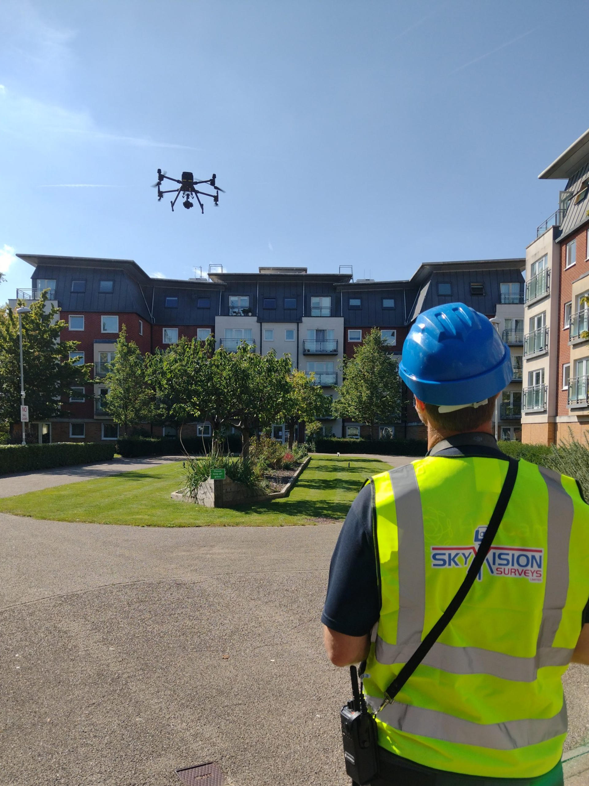
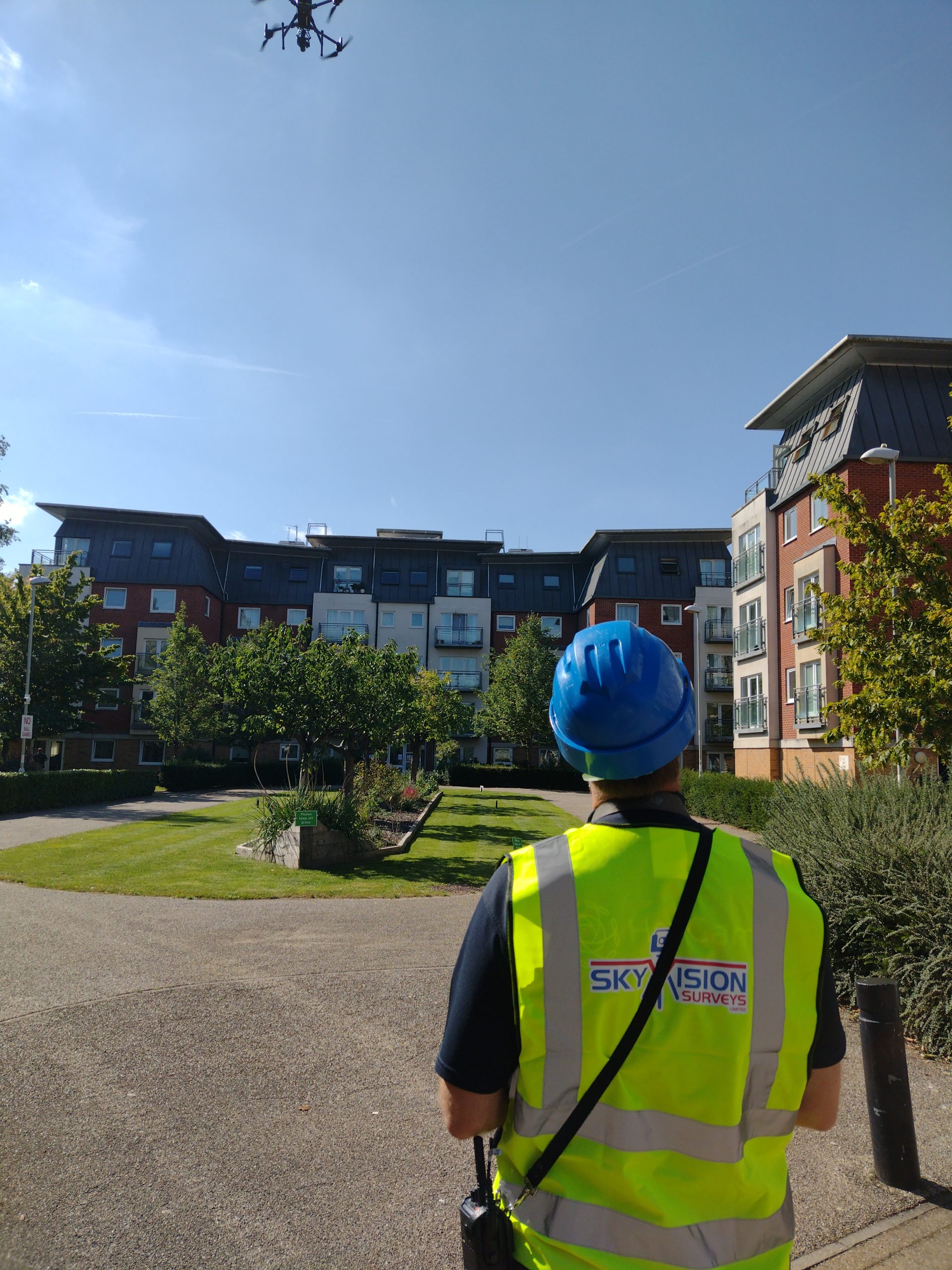
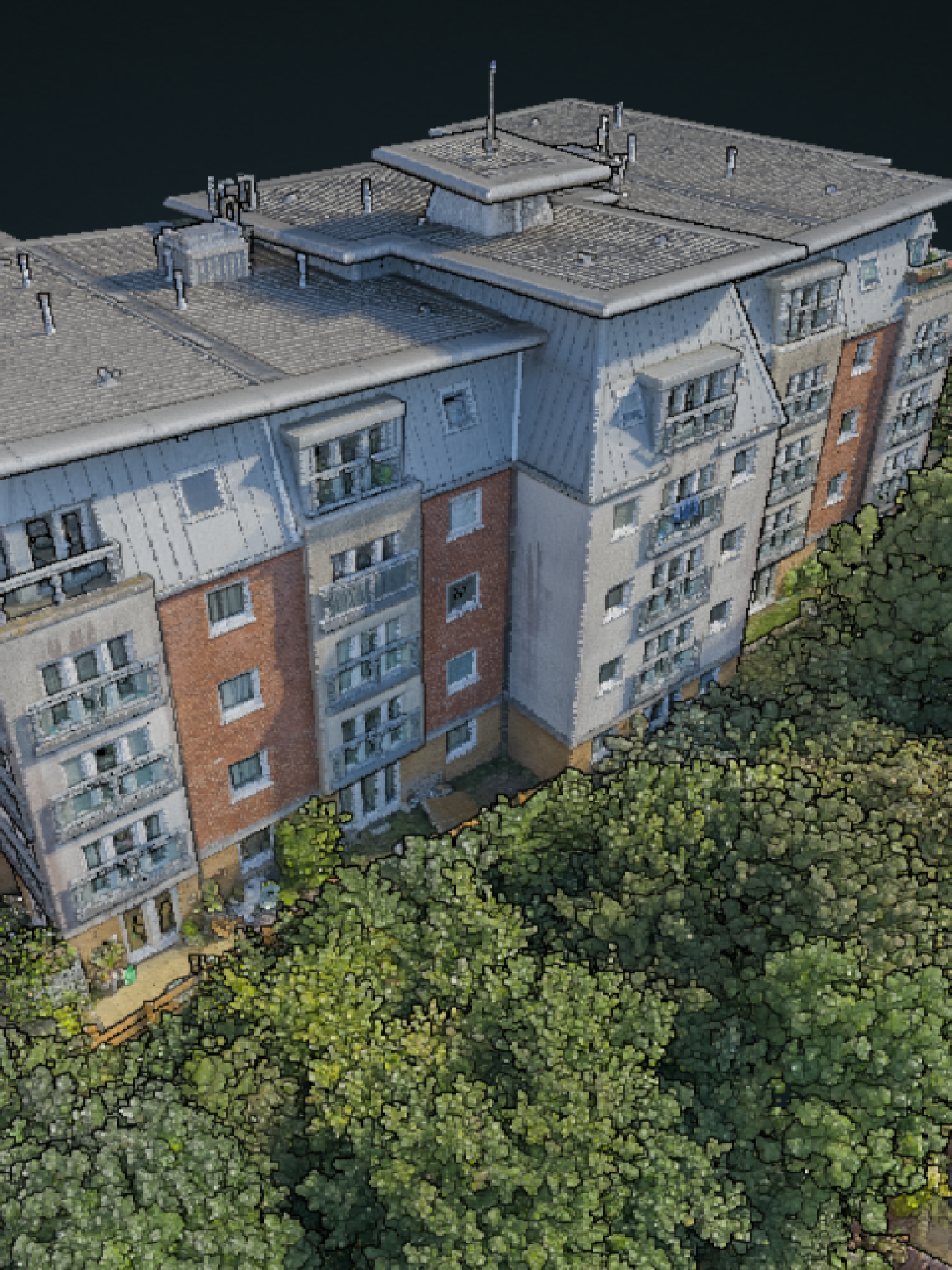

Drone Surveys
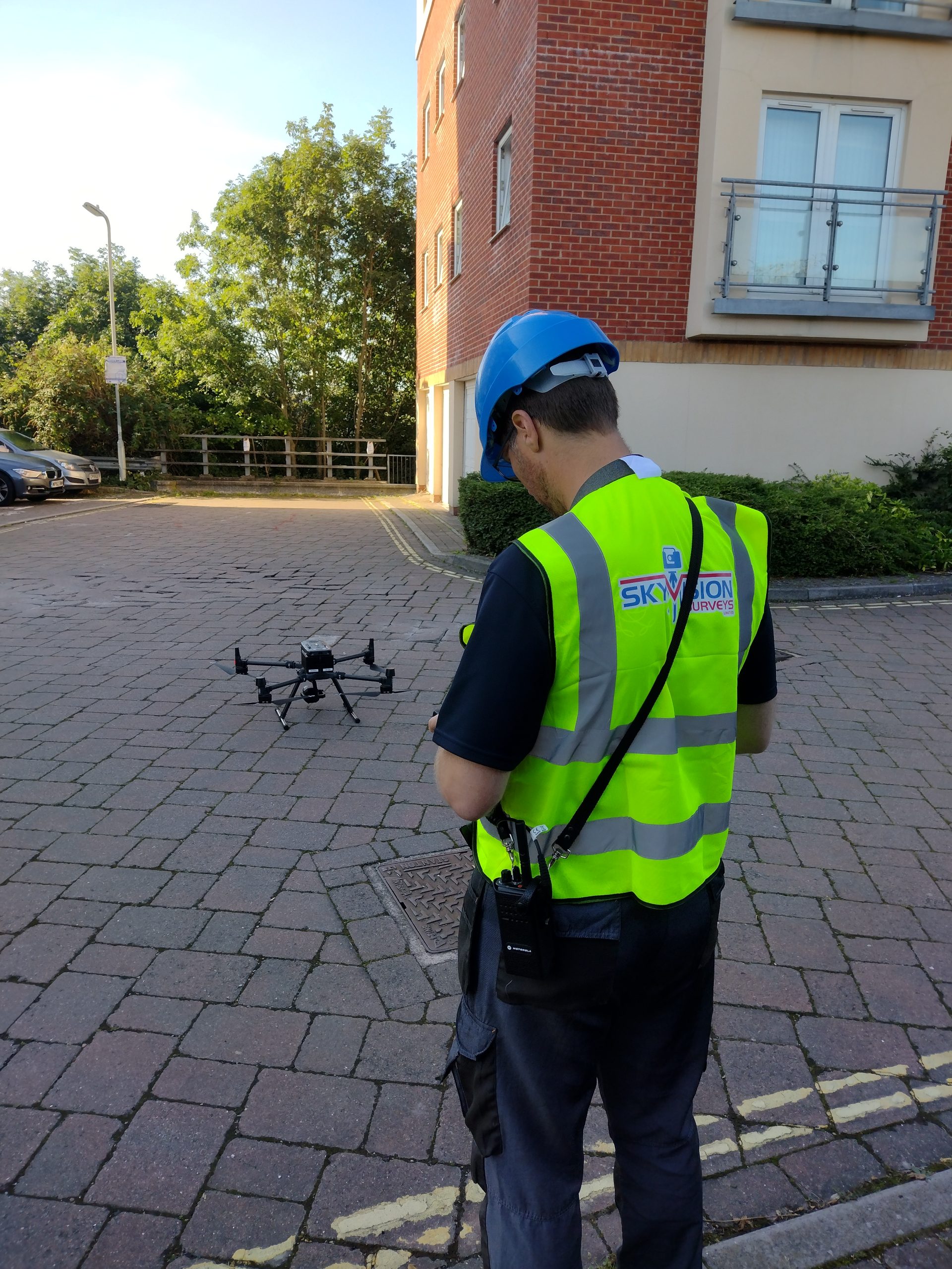
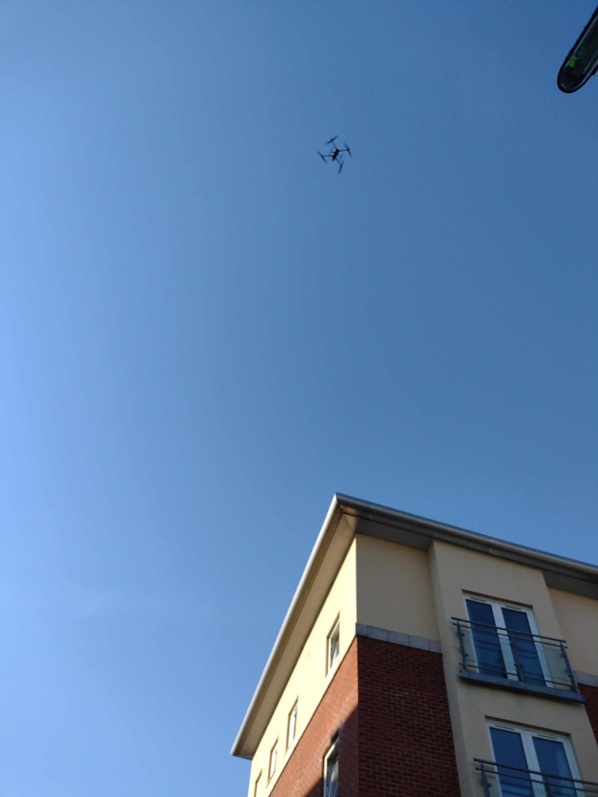
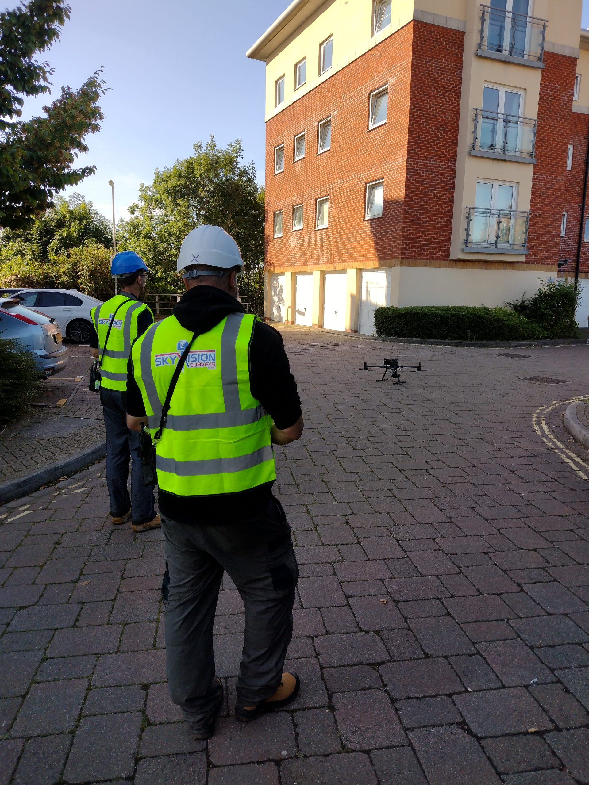
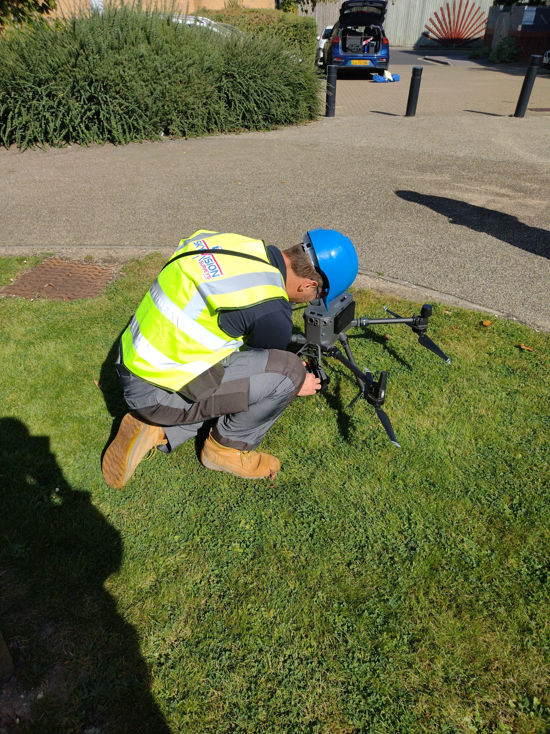
Sky Vision Surveys offers advanced drone survey services that harness cutting-edge technology and innovative imaging equipment for high-quality mapping and aerial surveys. Drone surveys provide rapid, cost-effective, and high-resolution imagery, bridging gaps left by traditional survey methods. They cover extensive areas and gather vast data quickly. These digital outputs are valuable in various ways, aiding surveyors, engineers, and project managers by tracking progress, managing earthworks, and enabling quality assurance checks. They can be integrated into BIM, used for master planning, and even incorporated into virtual reality. Sky Vision Surveys provides a wide range of output formats, from Orthomosaic to Point Cloud and digital elevation models.
Unsure what services you need?
Feel free to contact the team 0843 378 0353
Our Location
Have Any Questions?
Have Any Questions?
If you have any questions regarding our services feel free to contact the Sky Vision team.
